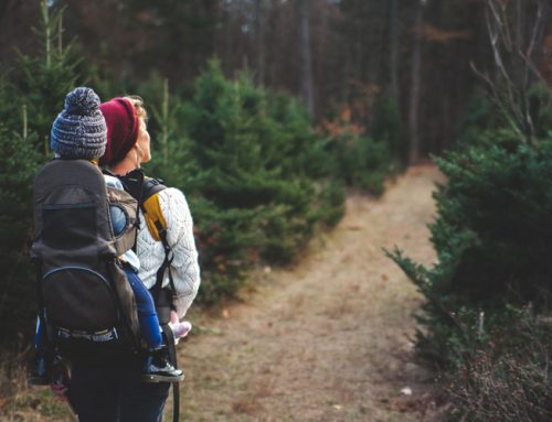
Mount Bierstadt: Climb Your First Fourteener
Situated in the Front Range of the Rocky Mountains, Mount Bierstadt is a member of Colorado’s fourteeners club and is one of the most easily accessible hikes to achieve the prominent hiker’s milestone of climbing 14,000 feet above sea level. Only an hour’s drive from Denver, the peak is located in the Mount Evans Wilderness of Pike National Forest and is in close proximity to many other of the state’s destinations that are worthy of a day trip or a more extended stay.
History of Mount Bierstadt
Mount Bierstadt gets its name from the American landscape painter Albert Bierstadt, who completed the first documented hike to its summit in 1863. It is believed that Bierstadt also climbed another nearby peak, which would have been the first double ascent in the region, but written reports are too vague to confirm this. However, Mount Bierstadt’s first known name was Mount Rosalie, named after Rosalie Osborne, a wife of the painter. This name only lasted for 30 years, when the Colorado legislature named the peak after the second governor of the territory, and the name Rosalie Peak was given to a smaller peak to the southeast of Mount Bierstadt.
The Ute Indians arrived in the area of Mount Bierstadt around 500 years ago, with several tribes populating the many valleys, enclaves and hillsides of the peak’s slopes until the mid-19th century, when the discovery of gold in the area by George Andrew Jackson. This caused a swift influx of prospectors and miners to the region. Clear Creek County quickly became a vibrant place, full of settlers trying to make it rich. The lives of indigenous Native American people suffered from these sudden changes, while the lives of those in the mining industry thrived.
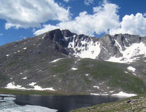
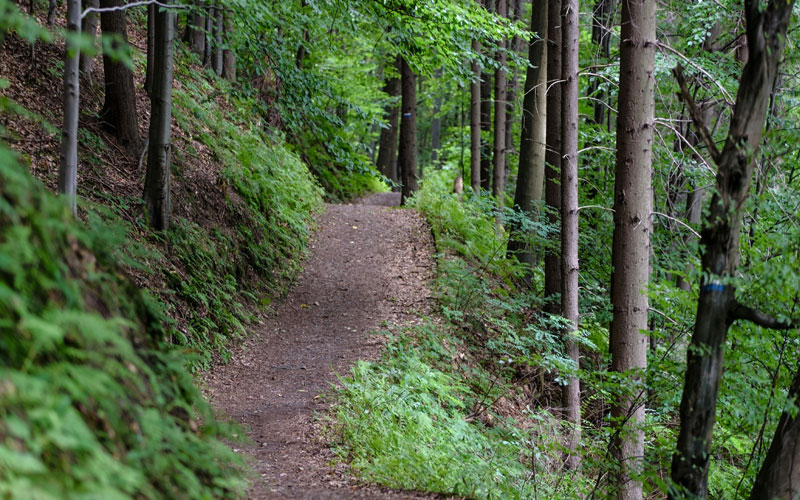
Hiking the Mountain
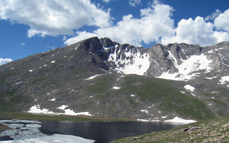
Generally considered a relatively easy climb, Mount Bierstadt is a popular mountain to climb for those wishing to summit their first fourteener. Most often, hikers begin their ascent at a trailhead off of the Guanella Pass Scenic Byway. First, you will descend into the marshlands surrounding Scott Gomer Creek before reaching Mount Bierstadt’s western slopes. After a subsequent climb of 2,391 feet, the trail then levels out 200 feet below the peak’s summit before the final ascent. There are also alternative trails covering the eastern slopes of Mount Bierstadt.
Once you reach the summit, you will have the option of continuing your hike along The Sawtooth ridge, making for an intermediate-level hike that can include a detour to Abyss Lake at 12, 650 feet, which sits at the bottom of the valley between Mount Bierstadt and Mount Evans.
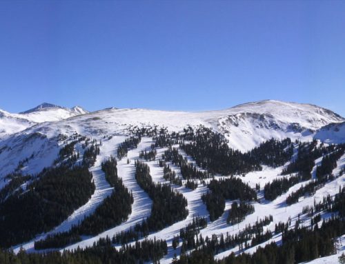
Scenic Drives Around the Area
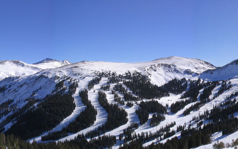
There are numerous scenic drives found near Mount Bierstadt, including the Mount Evans Scenic Byway, which winds and climbs Mount Evans before reaching the summit of the peak and is the highest paved road in North America. The Guanella Pass Scenic Byway is also close by, which follows a former wagon route between the towns of Georgetown and Grant. In addition, “Oh My Gawd” Road links Idaho Springs to the gambling centers of Blackhawk and Central City, which gets its name from the amazing views along this dirt road, as well as the narrow lanes and sharp curves.
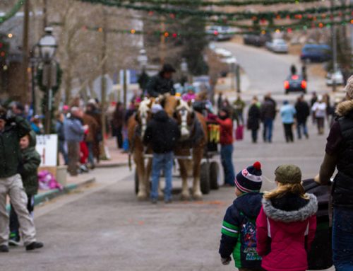
Amenities Nearby
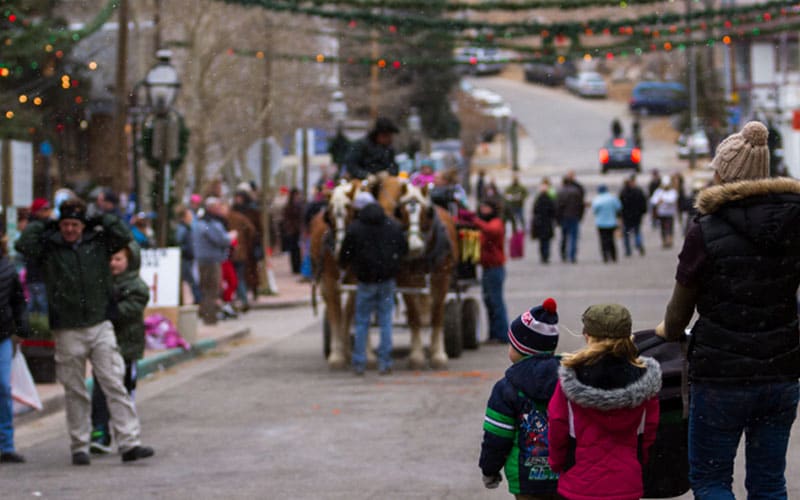
Georgetown, CO is a former mining town that thrived when silver mining was booming in the area in the late 19th century. You can see beautifully preserved Victorian architecture here, evidence of the wealth invested into this mining camp turned service center when silver mining was at its peak in the area. Silver Plume is also worth a visit, although much smaller than Georgetown. Here, you can see the same era buildings, but in their original form, as there has historically been less focus on restoration of buildings here.
You can also take a comfortable trip on the Georgetown Loop Railroad spanning between Georgetown and Silver Plume, with the option of stopping for a tour at the Lebanon Silver Mine.
Fishing Around Mount Bierstadt
There are more than 200 fishing spots for in Clear Creek County, ranging from alpine lakes and streams to hidden gems. You can ice fish in the winter months and fish ponds, streams and lakes from spring through autumn, as well as in the Clear Creek River. These water sources are populated by a variety of trout, such as Rainbow, Cutthroat, Brook and Brown varieties.
Geography of Mount Evans Wilderness
Mount Bierstadt is part of an irregularly shaped massif known as the Chicago Range, running from Canon City to the border of Wyoming. The Chicago Range is a part of the Front Range, which covers an area stretching the length of the state and beyond. Views from any summits in these ranges feature high passes and ridges. The massif formed around 70 million years ago, with the area being part of the Uncompahgre highlands of 300 million years ago. Due to continental plates colliding and pulling apart, the landscape changed drastically to become the contoured, granite-filled place it is today.
Native Wildlife
The most commonly viewed wildlife of Mount Bierstadt are Rocky Mountain elk, which have the largest antlers of any elk subspecies. Although they spend most of the year in the sub-alpine environment at higher elevations, the elk head to lower elevations in the fall for their mating season.
Another common sight are bighorn sheep that thrive high above timberline where they are able to traverse vertical cliffs with ease and agility. They live at lower levels than mountain goats, however, which are one of the highest living species on Mount Bierstadt. Moose are less common. Moose are generally only found in the Mount Bierstadt area in the autumn.
Mount Bierstadt offers many outdoor adventures. However, there is plenty to see and do near the peak to make turning your day trip into an extended stay well worth the planning. Spend the day exploring this historic mountain and spend a few nights in the area to soak in even more history in places like nearby Georgetown or at a historic hotel turned bed and breakfast in Silver Plume. There is just too much to appreciate in this area not to linger for awhile.